
Facts
Nepal Facts: Geography, Culture and Records to Know
Eight of the world's ten highest peaks, dozens of languages, a non-rectangular flag and one of Asia's oldest cities: quick, useful facts about Nepal.
Read articleTopic
Geography, culture, records and quick answers about Nepal.
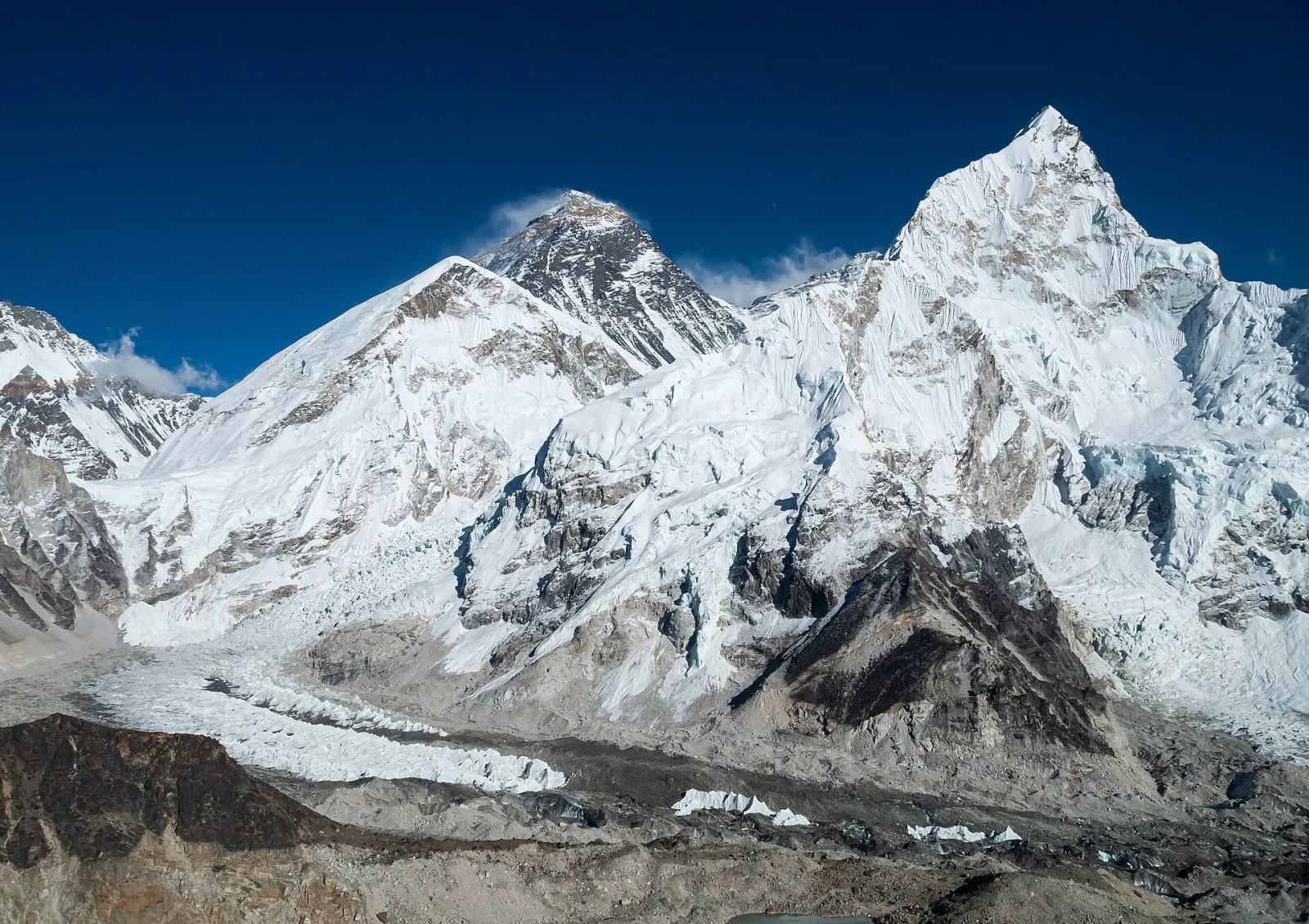
Nepal sits between India and China, stretched along the Himalayan range for roughly 800 kilometres east to west and rarely more than 200 kilometres north to south. That narrow shape packs an extraordinary range of climate: tropical plains at around 60 metres above sea level in the south, and the highest point on earth at 8,848.86 metres on the northern border.
The country is a federal republic with seven provinces and 77 districts, and 753 local units that handle much of the day-to-day administration of schools, health posts and local roads. Administratively, that means a small country with a large number of named places — useful to remember when you are trying to locate a village in a report.
| Item | Detail |
|---|---|
| Capital | Kathmandu |
| Total area | 147,516 square kilometres |
| Provinces / districts / local units | 7 / 77 / 753 |
| Official language | Nepali, with many other languages recognised in practice |
| Currency | Nepali rupee (NPR) |
| Calendar | Bikram Sambat, roughly 56–57 years ahead of the Gregorian year |
| Highest point | Mount Everest (Sagarmatha), 8,848.86 m |
| National symbols | Rhododendron (flower), cow (animal), danphe (bird) |
Nepal contains eight of the world's fourteen peaks above 8,000 metres, which is why mountaineering is both a national industry and a national risk. Beyond the high peaks, the country is better understood as three horizontal belts: the Terai plain, the mid-hills with their terraced slopes, and the high mountain zone. Rivers run generally south from snow-fed headwaters, which is why water is abundant in the monsoon and scarce in the dry season.
The population is a mosaic of more than a hundred caste and ethnic groups and well over a hundred languages and dialects. Nepali is the lingua franca and the language of administration and school textbooks, but Maithili, Bhojpuri, Newar, Tamang, Tharu, Awadhi and many others are everyday languages in their regions. Religion is similarly layered: Hindu and Buddhist traditions dominate, with Muslim, Kirat, Christian and other communities present across the country.
Dashain and Tihar are the largest national festivals, both falling in autumn. Lhosar is celebrated by Sherpa, Tamang and other communities at different times of year, Chhath is important in the Terai, and Buddha Jayanti marks the birth of the Buddha at Lumbini, one of the country's most significant historical sites.
For a wider set of records and curiosities see interesting facts about Nepal, and for the longer story go to history of Nepal.
About 147,516 square kilometres, roughly 800 km long from east to west and 90–230 km wide.
Seven provinces and 77 districts, with 753 local units beneath them.
Mount Everest, measured at 8,848.86 metres after the 2020 joint survey with China.
Bikram Sambat for official and cultural dates, alongside the Gregorian calendar in business and international use.
More than a hundred are recorded, with Nepali as the common official language.
Every guide we have published in this topic area, newest first.
Continue browsing the rest of the site.